Northern Uganda and Kidepo
On the border with South Sudan, Kidepo Valley and the Karamojong plains form Uganda's most isolated territory, 1.5 hours by plane or 12 hours overland from Kampala.
Northern Uganda stretches as a band of savannas, isolated hills and semi-arid plains from the Acholiland sub-region to the South Sudanese and Kenyan borders. For years, this part of the country remained off the tourist circuit, scarred by the LRA conflict that gripped the Gulu and Kitgum regions until the mid-2000s. Since peace returned, access has gradually opened, though visitor numbers remain low: we rarely encounter other vehicles here, even during high season.
The jewel of this zone is Kidepo Valley National Park, nestled in the northeast corner between the Morungole Mountains (2,750 m), the Lotuke range on the South Sudan side, and the Napore-Nyangea highlands. Two valleys structure the park: Narus in the southwest, wetter and where wildlife concentrates around permanent water sources for much of the year, and Kidepo in the north, more arid, crossed by a sandy riverbed that flows only during the rainy season. This configuration creates landscapes found nowhere else in Uganda: golden tall grasses, granite kopjes, endless skies that evoke Kenya's Turkana more than the equatorial forests of the south.
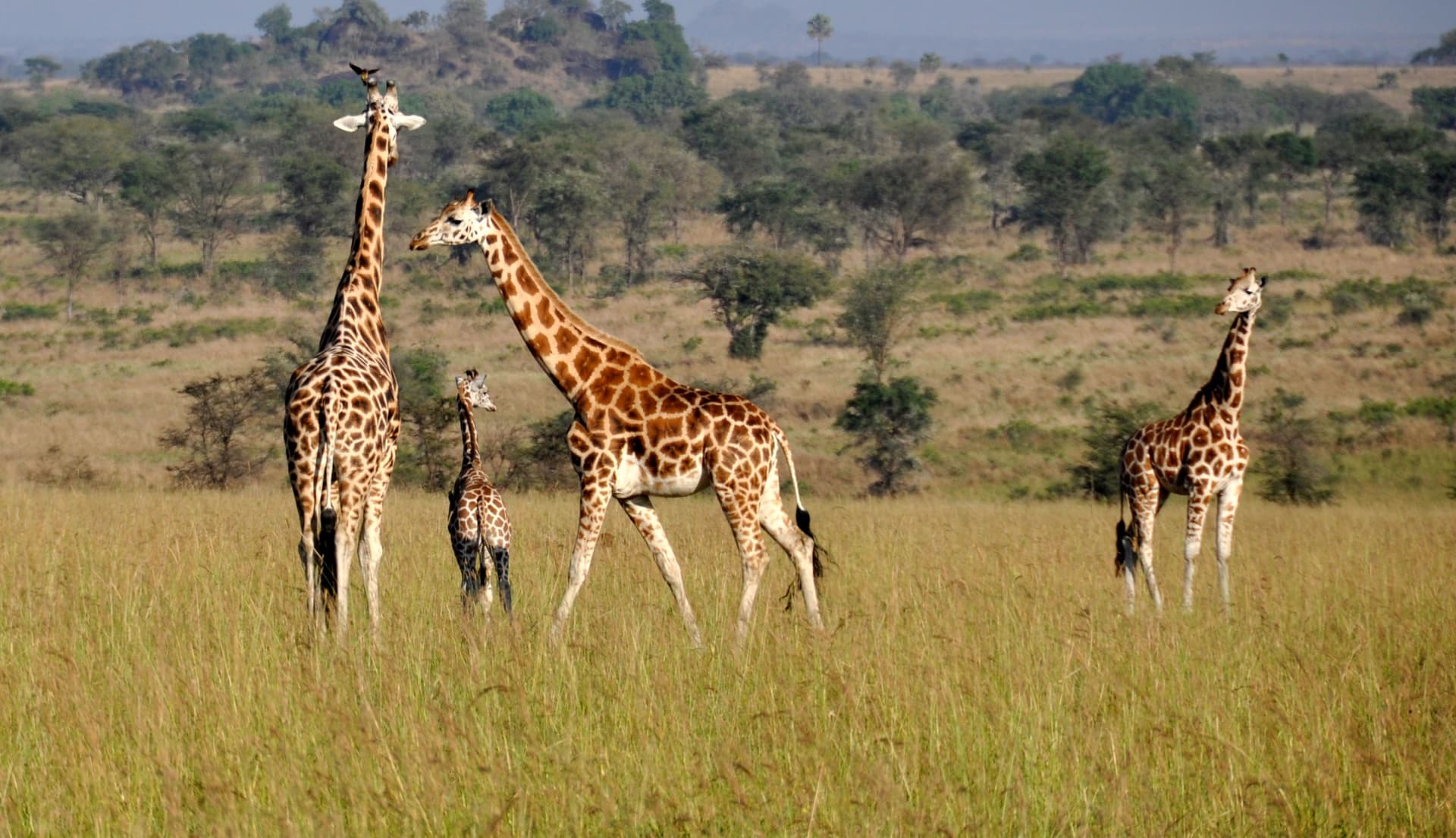
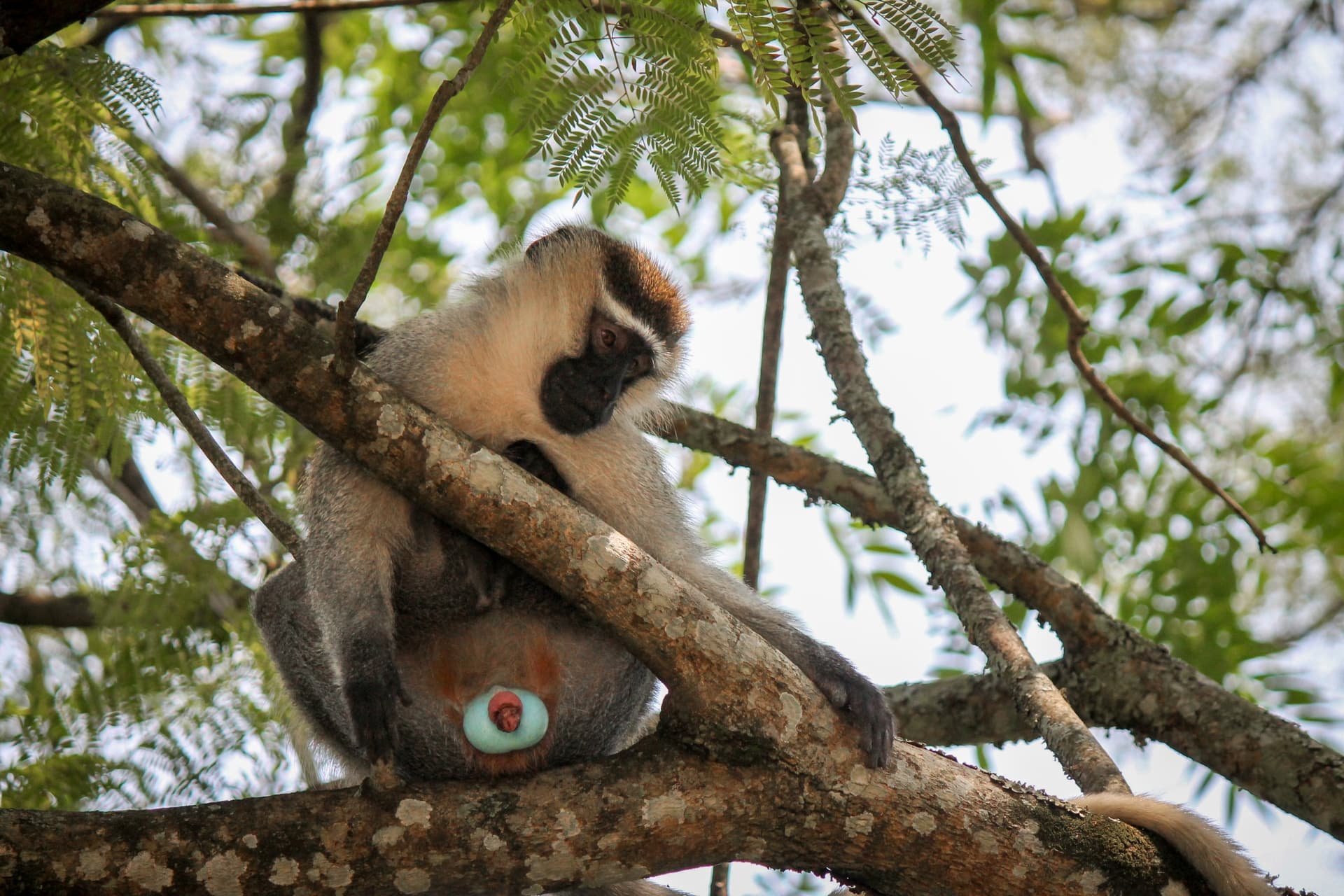
Wildlife here is dense and distinctive. Lions, some arboreal, spotted in figs across the Narus plains; Cape buffalo, Somali ostriches, reintroduced Rothschild giraffes, greater and lesser kudus, elusive caracals and cheetahs. Over 470 bird species have been recorded, including the pink-necked ostrich and Abyssinian roller. The park is modest in size (1,442 km²) but its animal concentration per km² in the dry season rivals neighbouring Kenyan parks.
On the human side, this is Karamojong territory—a pastoral people related to the Maasai and Turkana, organized into semi-nomadic clans. Their villages, called manyattas, are circular enclosures of thorny wood protecting thatched huts and cattle pens. Livestock remains central to social and economic life, despite government settlement efforts. We work with community guides from Kawalakol and Lorukul for supervised visits respecting local customs: no photos without consent, with contributions directed toward the village school or clinic.
Further west, around Gulu, capital of Acholiland, the north's character shifts. Savanna gives way to denser agricultural land planted with millet, sesame and sunflower. Gulu itself is a city undergoing reconstruction, animated evenings around Cereleno market and cantinas serving malakwang (leafy greens in peanut sauce) and kwon kal, millet porridge. For travellers interested in recent history, local associations offer meetings with former child soldiers turned peace mediators—an experience we organize only on explicit request with prior preparation.
Isolation remains this region's hallmark. Kidepo must be earned: 10 to 12 hours overland from Kampala via Gulu and Kitgum, or a 1.5-hour charter flight from Entebbe to Apoka airstrip. This access cost, logistical or financial, explains why the zone preserves its character and why we recommend it to travellers willing to invest 3 to 4 days for the journey to feel worthwhile.
What to explore
Narus plains in the dry season. Concentration of lions, buffalo and elands around the last water sources, observable from low-level tracks or the Apoka viewpoint. Late afternoon light rakes across the grasses with the Morungole massif rising beyond.
Visit a Karamojong manyatta. Half-day in a pastoral village around Kawalakol with a community guide. Milking demonstration, explanation of clan hierarchy, shared meal of sorghum and sour milk.
Hiking the Morungole slopes. 6 to 8-hour return walk to hamlets of the Ik people, a community of fewer than 10,000 living in altitude isolation, linguistically and culturally distinct from the plains Karamojong.
Kanangorok hot springs. One hour overland north of Apoka camp, near the South Sudan border. Waters at 50°C surging from a cliff base, amid borassus palms and acacia woodland.
Evening in Gulu. Urban stop en route north, Cereleno market, cantinas serving malakwang in peanut sauce, and opportunity to meet actors in post-LRA reconstruction.
When to visit
We strongly recommend the dry season, December to March, for visiting Kidepo and far northern Uganda. Daytime temperatures in the Narus plains hover between 28 and 33°C, dip to 15-18°C at night, and intra-park tracks remain passable. This is also when wildlife concentrates around permanent water sources, making game drives far more productive. June to August offers a secondary window, with sporadic rains and still-green vegetation.
We advise against April-May and September-November: rains, sometimes exceeding 150 mm monthly in April, turn access tracks into mud, particularly the Kitgum-Kidepo stretch. Charter flights remain operational but become the only reliable option. The Gulu region, wetter overall, stays navigable year-round but road connections to the park become unreliable.
Practical advice
We recommend a minimum 4 days at Kidepo: one day to reach the park, two full days of safaris and Karamojong encounters, one day to depart. Less than this, the cost-to-time ratio of travel doesn't justify itself. Logistical entry points are either Apoka airstrip via charter flight from Entebbe (1.5 hours, roughly 400 USD per person shared), or overland from Kampala via Gulu and Kitgum (2 days with a Gulu stop).
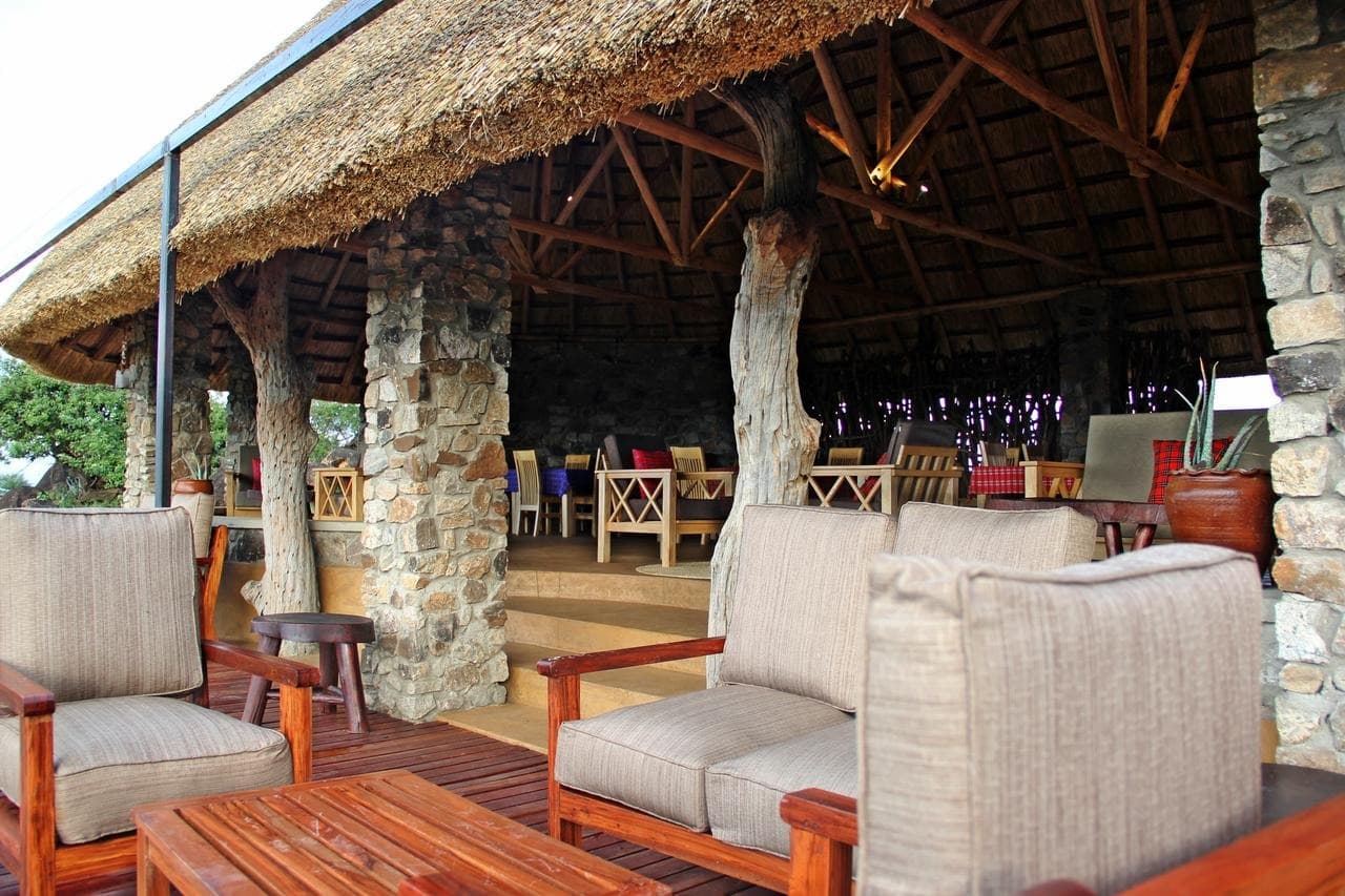
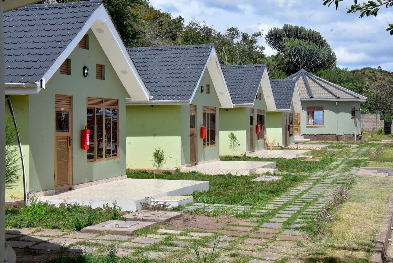
Logical pairing: Kidepo pairs well with Murchison and the Nile, routing back via Gulu, which allows combining Nile Falls and the northern park over a 10 to 12-day circuit. For travellers from the southwest (Bwindi, Queen Elizabeth), we favour an internal flight to avoid three full days driving. Comfort is deliberately simple: two main lodges at Kidepo (Apoka Safari Lodge, top tier; Kidepo Savannah Lodge, modest), no middle option. The region suits contemplative travellers, lovers of wide open spaces and pastoral cultures, and safari enthusiasts who've already explored classic East Africa and seek a park without competing vehicles.