Southwest Uganda and Bwindi
The mountain gorilla region, between Bwindi forest at 2000 metres, Virunga volcanoes, Lake Bunyonyi and the terraced hillsides of the Bakiga people.
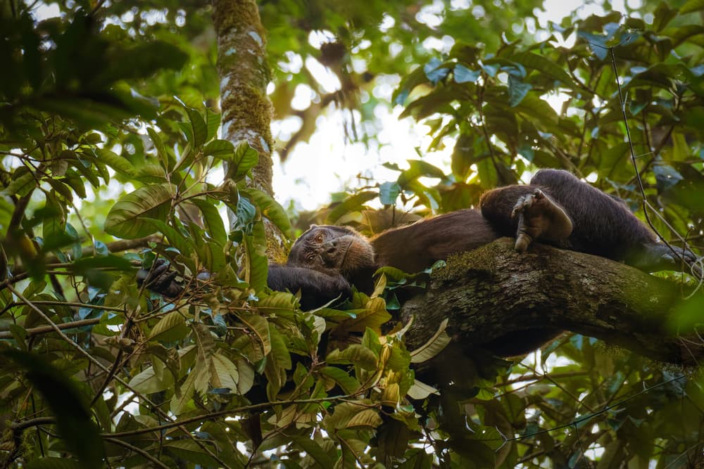
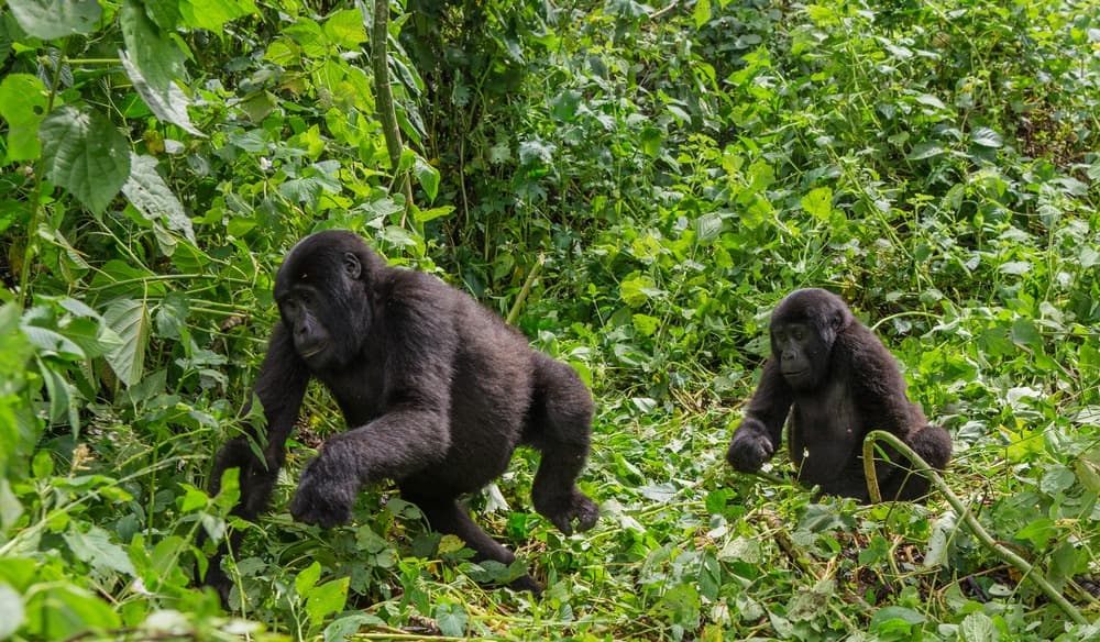
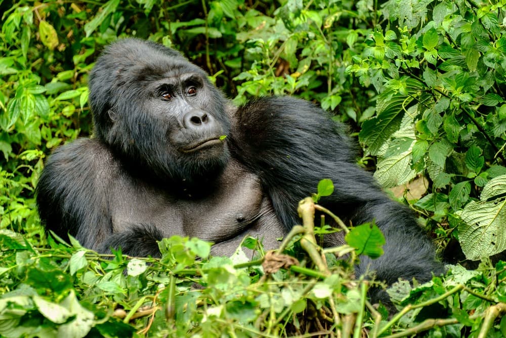
Southwest Uganda concentrates the majority of departures our team organizes from Kampala. The region unfolds across the foothills of the Albertine Rift, between 1400 and 2600 metres elevation, and marks the border with Rwanda and the Democratic Republic of Congo. Here lies Bwindi Impenetrable National Park, 331 km² of high-altitude primary forest that shelters nearly half of the world's remaining mountain gorillas, around 460 individuals divided into habituated and wild families.
Geography dictates everything. Roads serpentine along narrow ridges, valleys open onto crater lakes and terraces planted with bananas, sorghum, tea and arabica coffee. Bwindi's four sectors—Buhoma in the north, Ruhija to the east, Rushaga and Nkuringo in the south—are not interchangeable: each has its own trails, gorilla families, lodges and travel times from Kigali or Entebbe. Our team selects the sector based on the desired combination with the rest of your journey, as crossing Bwindi from one sector to another takes half a day on bush roads.
At the far southwest, Mgahinga National Park closes the border with three volcanoes of the Virunga range: Muhabura (4127 m), Gahinga (3474 m) and Sabyinyo (3669 m). Mgahinga is home to a single habituated gorilla family, Nyakagezi, as well as a population of golden monkeys that can be tracked on the bamboo-covered slopes. It is also the territory of the Batwa, a forest people displaced from the park when it was created in 1991, who now offer guided walks through medicinal plants and traditional hunting techniques.
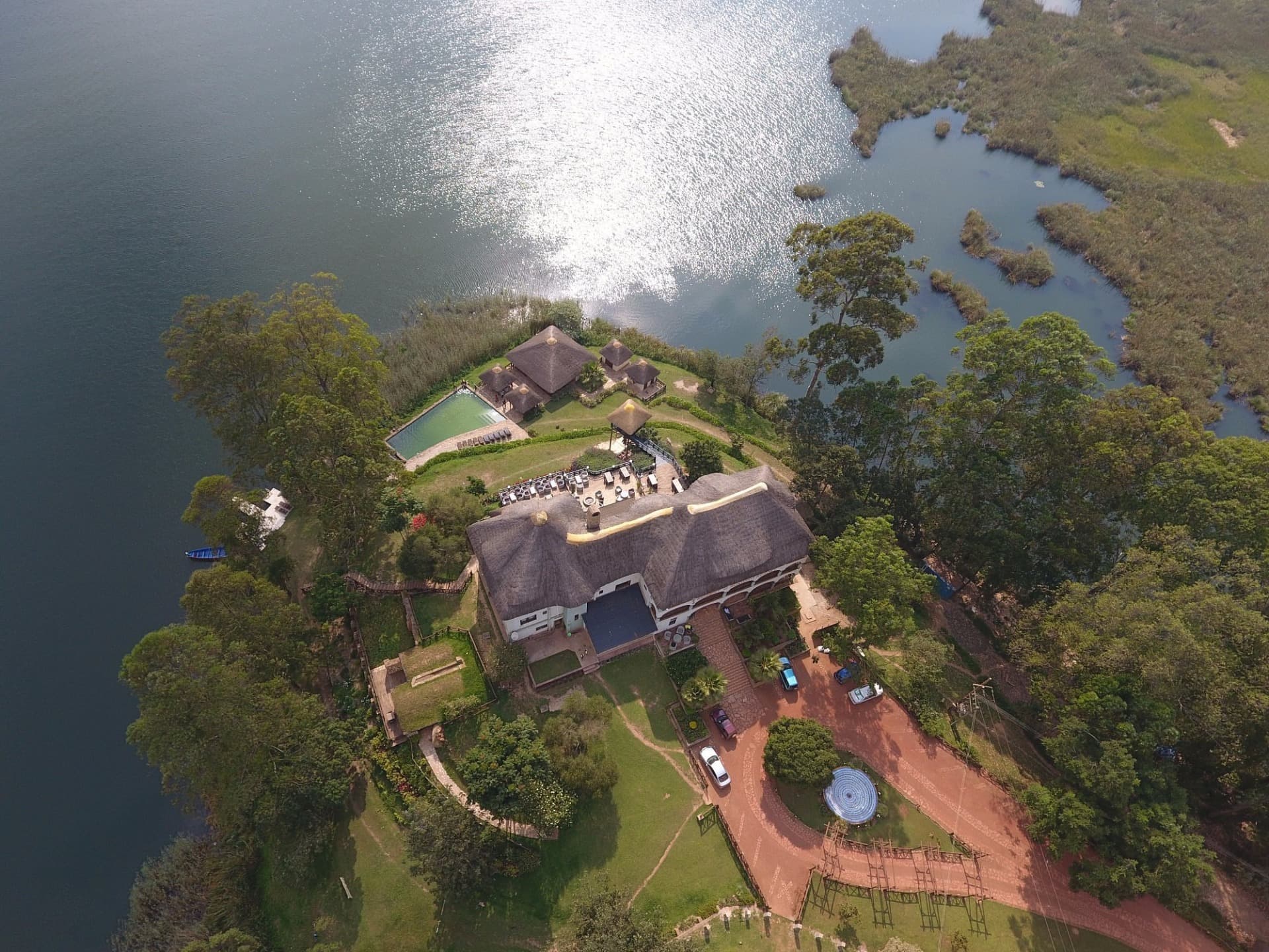
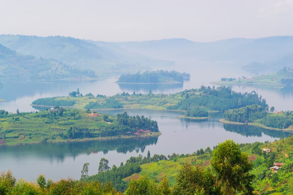
Lake Bunyonyi, at 1962 metres, punctuates nearly every itinerary we build in the region. Its twenty-nine islands—among them Akampene, known as the island of punishment, and Bushara, planted with eucalyptus—are reached by hollowed-out canoe. The water is cold but free of bilharzia and crocodiles, making it one of the few Ugandan lakes where swimming is possible. Around it, the hills of Kabale and Kisoro descend in terraces to the shore, and Bakiga villages live from sweet potato, millet and goat herding.
As for cuisine, the regional table centres on matoke (steamed plantain), red beans, eshabwe (sauce with fermented ghee typical of the Banyankole), and tilapia fished from lakes Bunyonyi and Mutanda. Bwindi coffee, grown at the forest's edge by Buhoma cooperatives, is now sold in beans at several lodges, which direct a share of proceeds to the growers.
The region moves slowly. Distances are short on the map but roads, often laterite beyond Kabale, set their own pace. Allow 7 to 8 hours from Kampala to Buhoma by road, or 1h15 flight to Kihihi airstrip then 1h30 by road. It is this contrast between forest mists, cold lakes and terraced cultivation that gives Southwest Uganda its distinctive character, bearing no resemblance to the savannas of the north.
To discover
Gorilla tracking at Bwindi. A walk of 2 to 8 hours through forest at 2000 metres, slippery ground and dense vines, for an hour observing a gorilla family at 7 metres distance. A named permit is mandatory, and must be reserved several months in advance.
Lake Bunyonyi by canoe. Crossing among the twenty-nine islands from the Rutinda landing, swimming possible at 20 degrees water temperature, overnight stay in a lodge on Bushara or Bwama amid the eucalyptus.
Encounter with the Batwa of Mgahinga. Half-day walk guided by former forest inhabitants who demonstrate plant uses, fire-making and funeral chants, on the slopes of Mount Muhabura.
Golden monkeys of Mgahinga. Early morning tracking in the bamboo groves at 2500 metres, meeting an endemic species of the Virunga that descends to feed on young shoots at dawn.
Agricultural terraces of Kisoro and Kabale. Paths between Bakiga villages on hillsides carved into steps to the summit, clear views of the Virunga volcanoes on clear days, late morning before clouds form.
When to go
Southwest Uganda experiences two relatively dry seasons, from June to September and December to February, which are the periods we recommend for gorilla tracking. Trails remain passable and mud less deep underfoot, without disappearing entirely: Bwindi receives between 1400 and 1900 mm of rain annually, and it rains every month. Temperatures range from 11 degrees at night in lodges at Ruhija at 2350 metres, to 23 degrees during the day at Buhoma or around Lake Bunyonyi.
The months of March to May and October to November concentrate the heaviest rains, with daily downpours in late afternoon and forest trails becoming very difficult. Tracking remains possible and permits less contested, but we warn travellers: counting on 5 to 7 hours of walking through mud is not uncommon. At Mgahinga, visibility of the Virunga volcanoes is better in July-August and January, when clouds form later in the day.
Practical advice
Our team recommends a minimum of 4 nights to justify the journey from Entebbe or Kigali: 1 night around Lake Bunyonyi to recover, 2 nights in a lodge near your chosen tracking sector (Buhoma, Ruhija, Rushaga or Nkuringo), and ideally an extra night at Mgahinga for golden monkeys or a second tracking session. Many travellers enter via Kigali (4 hours drive to Kisoro), which substantially shortens transfers compared to Kampala. The domestic flight to Kihihi or Kisoro is another option, approximately 1h15 from Entebbe.
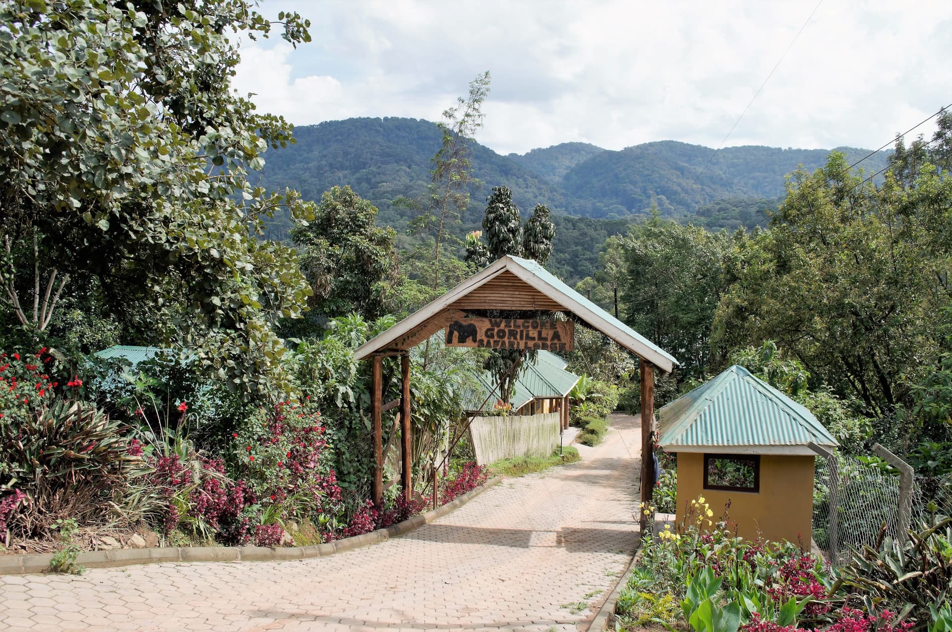
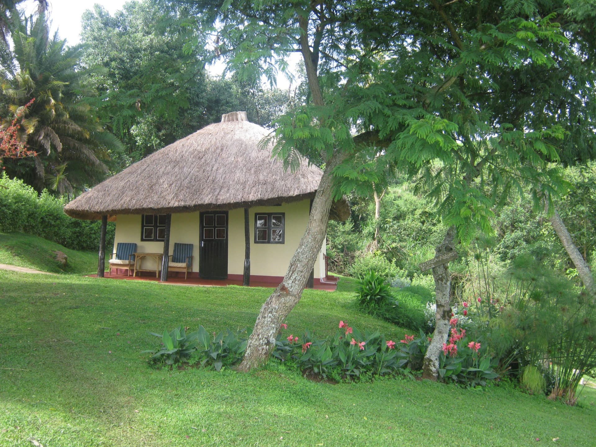
Southwest naturally combines with Queen Elizabeth Park, accessible in 3 to 4 hours by road from Buhoma, to add savanna, tree-climbing lions of Ishasha and a cruise on the Kazinga Channel. For a longer circuit, adding Murchison and the Nile takes 2 extra days of driving but completes your journey with the falls and rhinos of Ziwa. The region suits hikers in good physical condition (tracking requires walking on uneven terrain), contemplatives willing to accept cold and rain, and travellers as couples or families with children aged 15 and over, the minimum age imposed by UWA for gorilla permits. Lodges range from simple tented camps to upmarket lodges perched on ridges, but electricity often remains solar and wifi limited.