Murchison and the Nile
In the northwest, the Victoria Nile forces through a seven-meter chasm before plummeting in Uganda's largest park, home to Rothschild's giraffes and reintroduced rhinoceros.
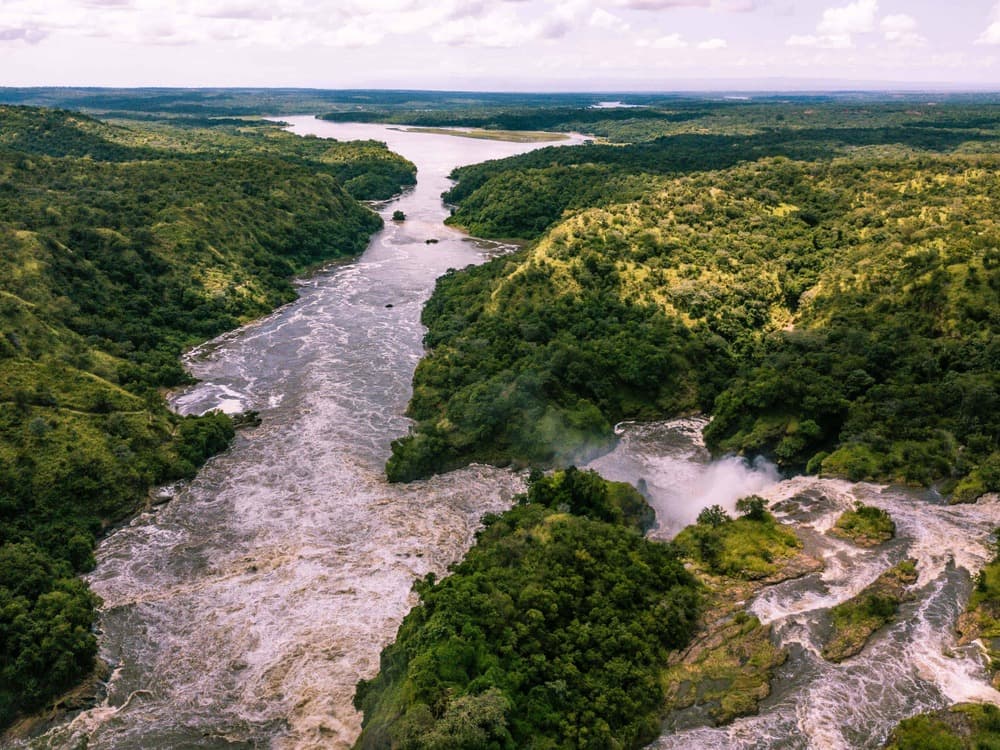
Northwestern Uganda is organized around a geological singularity: the Victoria Nile, which flows out of Lake Kyoga and heads toward Lake Albert, encountering here a fault line of the western Rift Valley. At Murchison Falls, the Nile—several hundred meters wide—is compressed into a seven-meter breach before plunging 43 meters. The roar can be heard for several kilometers and water vapor rises above the canopy. This phenomenon structures the entire region and gave its name to Murchison Falls National Park, established in 1952, encompassing 3,840 km² and making it the country's largest protected area.
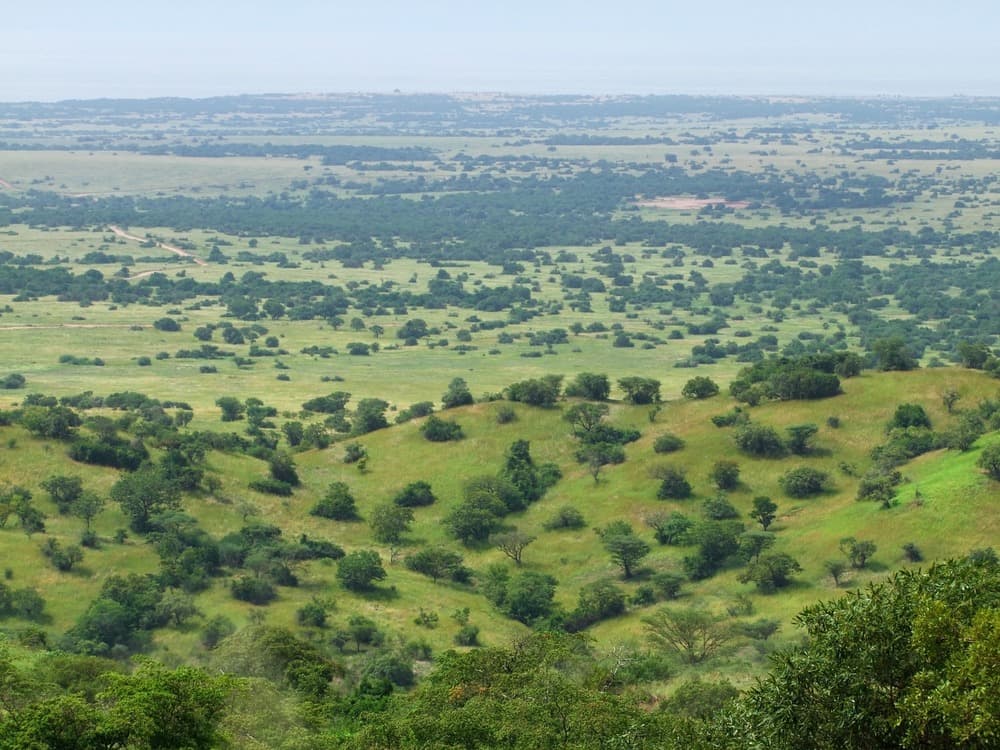
The park divides into two riverbanks with different ecological characteristics. South of the Nile, Combretum and acacia bushland savanna hosts the majority of large mammals: Rothschild's giraffes, whose Murchison population became East Africa's largest after reintroductions in the 2010s, buffalo herds, Buffon's kob antelope, warthogs, and elephants. Lions concentrate around the Buligi sector, at the confluence of the Victoria Nile and Albert Nile. To the north, vegetation becomes denser and borders the Pakuba and Paraa zones, where most lodges are located.
The region is inhabited by the Alur and Acholi north of the river, and the Banyoro to the south, on the former lands of the Bunyoro-Kitara kingdom. Villages we pass through on the road between Masindi and the park, such as Kichumbanyobo or Bulisa, depend on subsistence farming: cassava, sorghum, sweet potato, and tobacco in the Hoima zone. Dried fish from Lake Albert travels to Masindi markets, and we regularly stop at Wanseko, a fishing port on the lake's edge, to understand the local tilapia and Nile perch economy.
The climate is noticeably warmer than in the south of the country. Expect 25 to 32 degrees Celsius during the day year-round, with nights rarely dropping below 20 degrees. The park's average altitude hovers around 700 meters, compared to 1,200 meters in Kampala and over 1,500 meters in the southwest. This difference is felt immediately upon leaving Masindi: the laterite becomes redder, vegetation thins, and the air is dry outside the rainy season.
Access from Kampala requires six to seven hours by road via Masindi and the Kichumbanyobo entrance, or via Pakwach for the northern bank. Along the route, we systematically stop at Ziwa Rhino Sanctuary in Nakitoma, halfway between Kampala and the park. It's the only place in Uganda where you can see white rhinoceros in the wild, accompanied on foot by trackers across 70 km² of terrain. The program began in 2005 with six animals and now exceeds 35 individuals, destined eventually to repopulate the national parks.
The highlight of any visit remains the three-hour boat cruise on the Nile from Paraa to the base of the falls. The boat skirts banks where crocodiles, hundreds of hippopotamuses, elephants coming to drink, and nearly 450 bird species recorded in the park congregate, including the Shoebill in the marshy delta on the Lake Albert side. A second, more exclusive cruise descends toward this delta: this is where you have the best chances of observing this prehistoric-looking bird measuring over a meter in height.
To discover
The falls viewed from the shore. After the cruise, a 45-minute walk leads to the top of the falls, where the Nile disappears into the chasm at your feet. The ground vibration and spray are perceptible several meters from the edge.
Safari on the southern bank at Buligi. Three to four hours of tracks through savanna and Nile tributaries, with the highest densities of East Africa's Rothschild's giraffes and lions of the confluence sector.
Ziwa Rhino Sanctuary. A guided foot approach to white rhinoceros accompanied by a tracker, across bushland 170 km from Kampala. A logical stop en route to the park.
Nile Delta and Shoebill. Morning boat cruise toward Lake Albert through the papyrus delta in search of this rare wader with its massive bill. Three hours by boat, departure recommended at 6:30am.
Top of the Falls via the portage trail. Historic path used by explorers Baker in 1864, which circumvented the impassable falls. Allow two hours of walking with an armed ranger.
When to visit
The most comfortable months run from December to February and June to September, corresponding to the dry seasons. Park tracks are easily passable, vegetation is sparse, and wildlife concentrates around Nile water points, facilitating observation. Temperatures fluctuate between 25 degrees at sunrise and 32 degrees in mid-afternoon, with strong sunshine. March-April and October-November are the rainy seasons: showers fall in late afternoon, often intense but brief, and some secondary tracks on the northern bank become muddy. The Nile crossing by ferry at Paraa operates year-round.
The Ziwa sector, lower in altitude and away from the park, remains practicable in all seasons, with comparable temperatures. For Nile cruises, the end of the dry season—August-September and January-February—offers the highest concentrations of elephants and hippopotamuses on the banks. We generally avoid April, the wettest month, for travelers wishing to maximize safari time.
Practical advice
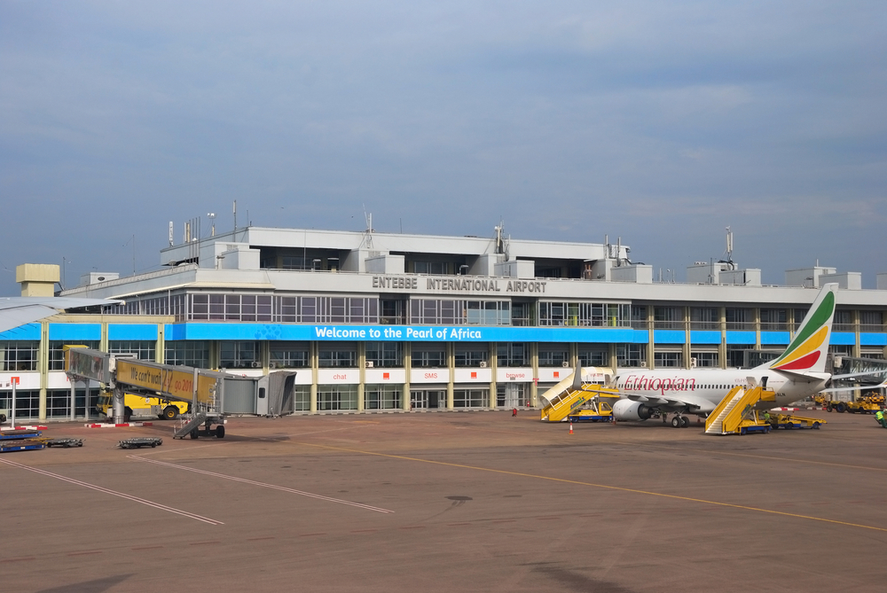
We recommend three nights in the region for a coherent stay: one night at Ziwa or nearby en route, then two nights in the park to combine a morning safari on the southern bank, the afternoon cruise to the falls, and a second outing for the northern bank or delta. Spending two nights in the park alone amounts to chaining seven hours of driving and activities without respite, which makes little sense. Access is by road from Kampala, six to seven hours via Masindi, or by charter flight from Entebbe to Pakuba or Bugungu airstrip, roughly one hour of flight for travelers wanting to save time.
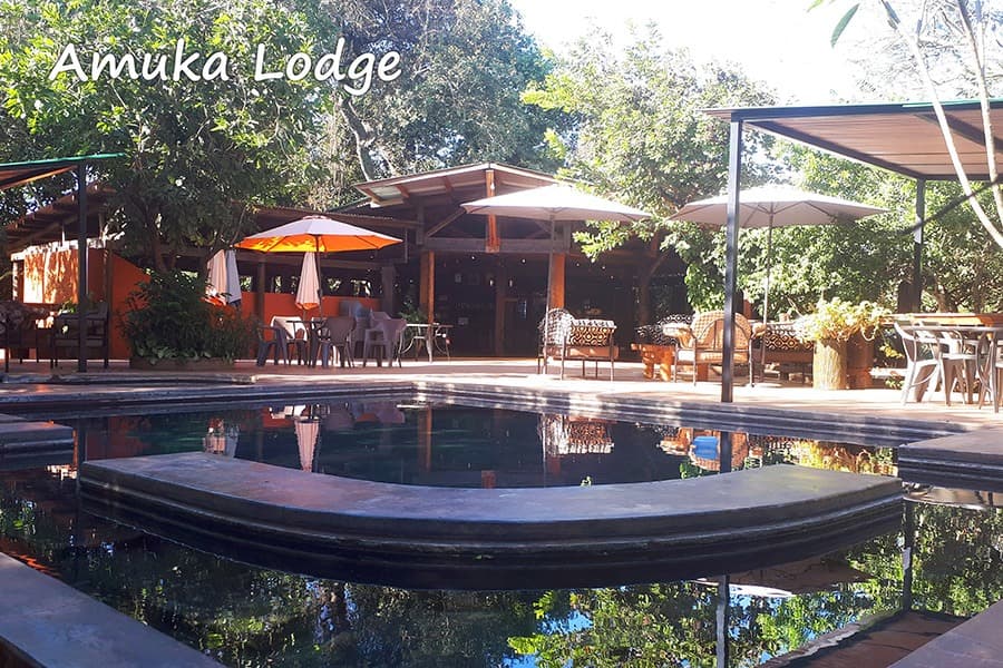
Murchison naturally combines with the Rift and Queen Elizabeth by descending via Hoima and Fort Portal, a day's drive, or with the North and Kidepo for travelers with three weeks seeking a complete loop through Karamojong landscapes. Linking with the Southwest and Bwindi is possible but lengthy; we do this by inserting central Uganda in between. Accommodation ranges from comfortable tent camps to lodges with pools overlooking the Nile. The region suits families—the pace is less intense than Bwindi and wildlife is visible without physical exertion—as well as contemplative travelers drawn to the river dimension of safari.