Kisoro
Kisoro
Perched above 1,800 m at the foot of the Virunga volcanoes, Kisoro is the ideal base for trekking Mgahinga's mountain gorillas, climbing Mount Muhavura and exploring Lake Mutanda.
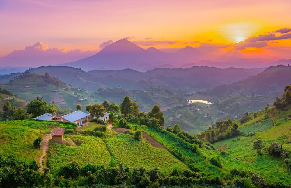
Kisoro is a mountain town nestled in the far southwestern corner of Uganda, at the junction of the Rwandan and Congolese borders. Perched above 1,800 metres, it sprawls at the foot of the Virunga volcanoes and serves as a base for mountain gorilla trekking in Mgahinga National Park. Its terraced agricultural hillsides, crater lakes and peaceful atmosphere make it a distinct stop on any Ugandan itinerary.
Quick reference
- Altitude: approximately 1,800–1,900 m — pack warm clothing, even during the dry season.
- Access: paved road from Kabale (around 80 km); regular minibuses and long-distance taxis from Kampala via Kabale.
- Recommended stay: 2 to 4 days to combine gorilla trekking, hiking and crater lakes.
- Gorilla permits: mandatory; book well in advance through Uganda Wildlife Authority (UWA).
- Seasons: dry seasons (June–August and December–February) recommended for hiking; trails can be slippery during the rainy season.
What to see
The landscape around Kisoro is dominated by the volcanic cones of the Virunga — Muhavura, Gahinga and Sabinyo — which form a spectacular backdrop. The crater lakes of Mutanda and Mulehe, with their calm waters and verdant shores, are ideal for kayaking and canoe rides. In town, the central market reflects the daily life of the Bufumbira communities, culturally close to their Rwandan neighbours.
History and context
The Kisoro region historically belongs to Bufumbira territory, integrated into British colonial Uganda in the early twentieth century despite its cultural and linguistic ties to Rwanda. This frontier identity remains visible in the language (Kinyarwanda is widely spoken here), rural architecture and terraced farming practices inherited from the Rwandan highlands.
Highlights of your visit
Mountain gorilla trekking — Mgahinga National Park
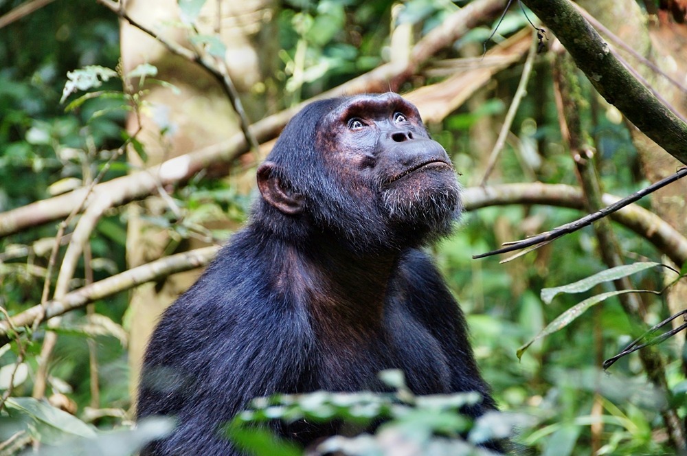
Mgahinga Gorilla National Park, just a few kilometres from Kisoro, is home to a habituated mountain gorilla family. The trek lasts between two and six hours depending on the group's location. The hour spent in their presence, permitted by the UWA permit, remains a rare and profound experience.
Climbing Mount Muhavura
Muhavura (4,127 m) is the highest of Uganda's three Virunga volcanic peaks. The climb, guided from the Mgahinga station, takes a full day. On clear days, the summit offers views across Lakes Edward and Kivu and into the Congolese volcanoes.
Lake Mutanda
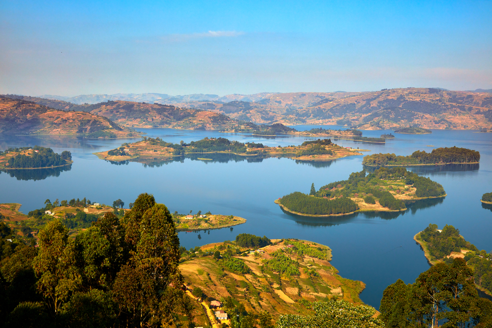
About ten kilometres from Kisoro, Lake Mutanda is dotted with small islands and framed by the volcanoes. Kayaking and canoe trips allow you to explore inhabited shorelines and observe aquatic birdlife. Several lakeside lodges offer accommodation with direct views of the Virunga.
Kisoro Market and Bufumbira craftsmanship
The weekly market brings together local producers and artisans. You'll find basketwork, pottery and textiles typical of the region. It's also an opportunity to observe the informal cross-border exchanges that animate the local economy.
Photography tips
Morning light is ideal for photographing the volcanoes before mist rises. For gorilla photography, flash-free cameras are mandatory. At Lake Mutanda, sunset with volcanic cones as a backdrop creates remarkable reflections on the water. Bring moisture-resistant gear: Mgahinga forest is often misty.
Location and access
Kisoro sits in the district of the same name, in Uganda's far southwest, bordering Rwanda (Cyanika border post) and the DRC. The road from Kabale is paved and passable year-round. Charter flights from Entebbe land at Kisoro airstrip, but scheduled service is irregular. Mgahinga National Park is accessible by motorcycle taxi or 4×4 vehicle from the town centre.
Nearby
- Mgahinga National Park — mountain gorillas, golden monkeys and the Virunga volcanoes, just a few kilometres from Kisoro.
- Lake Mutanda — crater lake with calm waters, perfect for kayaking with volcanic views.
- Kabale — southwest Uganda's main town, transit hub and base for Lake Bunyonyi.
- Lake Bunyonyi — multi-island lake, renowned for relaxation and hiking, around 80 km away.
- Volcanoes National Park (Rwanda) — across the Cyanika border, another major gorilla destination.
Frequently asked questions
The dry seasons (June–August and December–February) offer passable trails and better visibility of the volcanoes. Forest treks remain possible during the rainy season, but paths are slippery.
Permits are issued by Uganda Wildlife Authority (UWA). They are limited in number and must be booked in advance, ideally several months before your visit, especially during peak season.
Yes. The Cyanika border post, near Kisoro, gives access to Rwanda's Volcanoes National Park. A visa is required to enter Rwanda; check requirements for your nationality.
Waterproof clothing, warm layers (nights are cold at altitude), long trousers for the forest, gaiters and waterproof hiking boots are essential.
By bus or minibus via Kabale (journey of several hours depending on traffic). Charter flights from Entebbe exist but are not daily. The road is paved to Kisoro.
Several lakeside lodges offer accommodation with views of the Virunga. A night allows you to enjoy sunrise over the volcanoes and a peaceful kayaking outing before day-trip crowds arrive.
Want to discover this destination?
Our local advisors design your tailor-made trip.